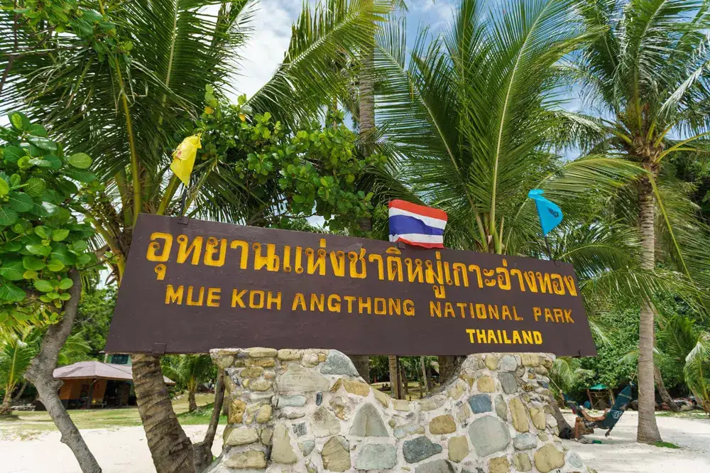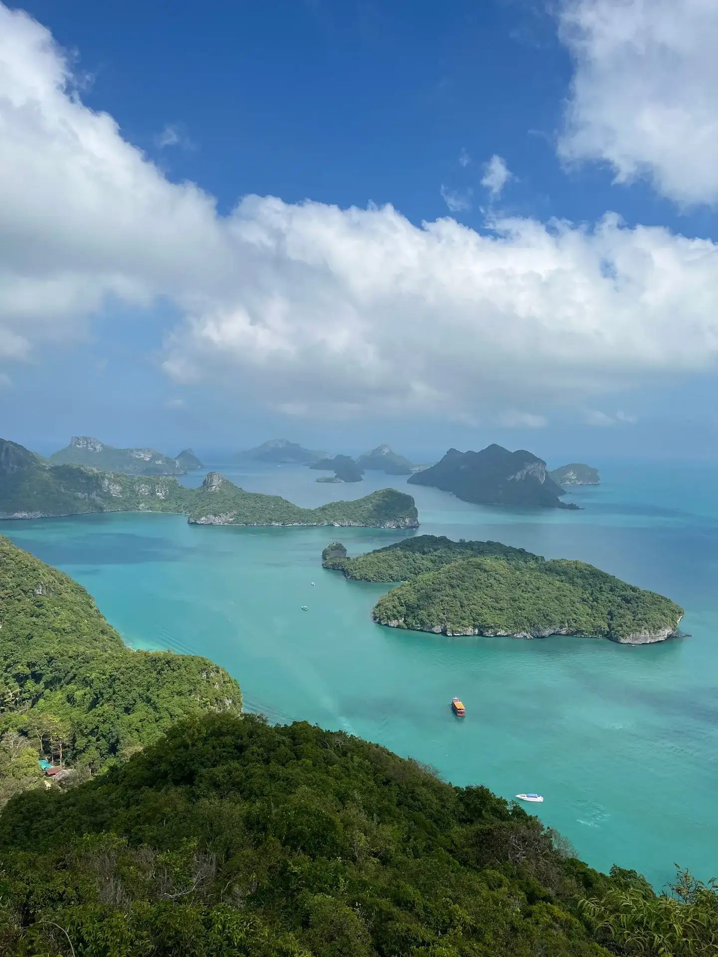
- Mu Ko Ang Thong became a national park on 12 November 1980 and covers about 102 km² of sea and islands.
- Before that the 42 islands were used mostly by fishermen, and Koh Phaluai still has a small fishing village today.
- Tourism grew with Koh Samui, and day trips by speedboat, big boat and sailing junk now run from the island about 28 km away.
- The park is usually closed every year from 1 November to 15 December to let nature recover, and no tours run then.
Standing at the top of the Wua Ta Lap trail, sweaty and out of breath, most people look down at 42 green islands and ask the same thing: why is none of this built up? The short answer to the ang thong history question is that the islands were protected before the big tourist boom reached the Gulf of Thailand. The longer answer is a good story, and it makes the day out more interesting.
I have taken guests here for years, and the ones who know a bit of the background enjoy the park more. They notice the ranger station, the empty beaches and the rules, and they understand why they are there. So here is the history in plain words, with only the facts I am sure of and a clear note where a story is local talk rather than record.
When did Ang Thong become a national park?
Ang Thong was declared a national park on 12 November 1980. Its full name is Mu Ko Ang Thong National Marine Park, which simply means "the Ang Thong group of islands", and it lies in Surat Thani province, about 28 km west of Koh Samui and 32 km from Koh Phangan.
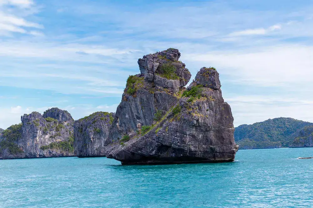
The park covers about 102 km², and most of that is sea, not land. The average water depth is only around 10 m, which is why the water turns such a soft green and turquoise in good light. Only two islands have people living on them: Koh Phaluai with its fishing village and Koh Wua Ta Lap with the park headquarters.
The name Ang Thong means "bowl of gold". There are a few explanations of where it came from, and they are covered in our piece on what the name Ang Thong means. For history purposes, the important part is the date: 1980 was early. Koh Samui was still a quiet island of coconut farms then, and mass tourism had not yet arrived.
Who used the Ang Thong islands before the park?
Before 1980 the islands were mainly a fishing area. Families from the coast of the mainland and from the nearby islands fished the shallow water between the rocks, and Koh Phaluai, the largest island, has had a village for a long time.
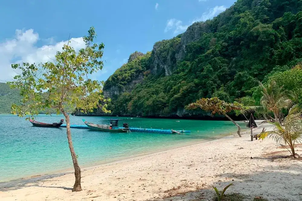
That village still exists. A few hundred people live in the south of Koh Phaluai and make their living mostly from the sea. The northern part of the island is inside the park and still covered with forest. If you want to see this side of Ang Thong, read the article on Koh Phaluai and its fishing village.
The limestone islands themselves were never much use for farming. They are steep, rocky and short of fresh water. That is good news for us today: nobody cleared them for plantations, so the forest on the cliffs and the rare plants that grow there survived.
Swiftlet nests: a careful note
You will sometimes hear that the caves of the islands were used for collecting edible bird's nests, the nests swiftlets build from their saliva. Nest collecting has a long history on limestone islands across the southern Gulf, so it is very likely it happened here too. I have not seen a reliable record of how big it was in Ang Thong or when it stopped, so take any detailed story about it as local talk.
There is also a common story that the area was used by the Thai navy before it became a park. Guides repeat it often, but again I cannot point you to a firm record, so I mention it only as a story you may hear on the boat.
Ang Thong history in short: a timeline
The clearest way to see the ang thong history is as a few big steps. Some dates are firm, others are general periods, and the table says which is which.
| Period | What happened | How sure |
|---|---|---|
| Long before 1980 | Fishing around the islands; a village on Koh Phaluai | Certain in general, no exact dates |
| Before 1980 | Possible nest collecting in the caves; navy use is a common story | Hedged, local talk |
| 12 November 1980 | Mu Ko Ang Thong declared a national park | Firm date |
| 1980s and 1990s | Koh Samui grows as a holiday island and day trips to the park begin | General period |
| Today | 42 islands, about 102 km², ranger station and headquarters on Wua Ta Lap | Current facts |
| Every year | Park usually closed 1 November to 15 December to let nature recover | Current rule, check each year |
If you only remember one line from this table, make it the last one. It is the part of the park's history that still changes your plans today.
How did tourism to Ang Thong begin?
Tourism to Ang Thong grew together with Koh Samui. As Samui changed from a backpacker island into a full holiday destination, day trips to the marine park became one of the main things to do there, and they still are.
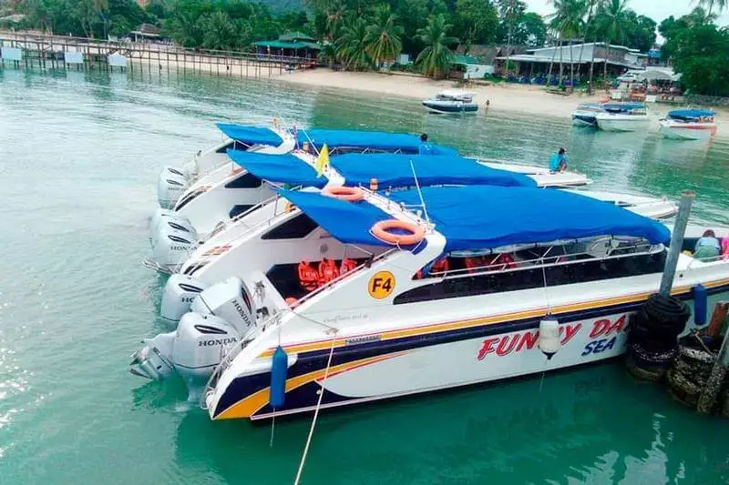
The first trips were simple: wooden boats, a long ride, a swim and a picnic. Over time the choice grew. Today there are fast group speedboats, big slow boats with decks and a buffet, small-group speedboats, a traditional sailing junk and private charters. They all go to the same islands, but the day feels very different on each.
The park also got a push from popular culture. Alex Garland's novel The Beach (1996) placed its secret lagoon in the Ang Thong marine park, and many readers came looking for it. The famous film was shot elsewhere in Thailand, but the book helped put Ang Thong on travellers' maps.
My honest opinion: the growth has been handled better than in many places. You still have to share the Emerald Lake viewpoint with other groups in the middle of the day, but there are no hotels on the beaches and no jet skis buzzing around. That is the national park status at work.
What did the park build on Koh Wua Ta Lap?
Koh Wua Ta Lap, the "sleeping cow" island, became the park headquarters. It has a ranger station, a restaurant, park bungalows and a campsite, and it is the second largest island of the park.
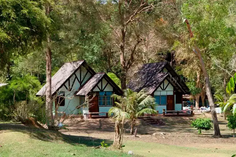
This is also where most visitors meet the park as an institution. You see the rangers, the signs, the visitor exhibits and the steep trail of about 500 meters to the top viewpoint. Behind the beach a path leads to Bua Bok cave, named for its stalactites shaped like lotus flowers.
A practical warning from experience: the Wua Ta Lap climb is much harder than the stairs at the Emerald Lake. Take water and proper shoes, or stay on the beach and watch for dusky langurs in the trees. Our page on Koh Wua Ta Lap, its trail and its beach has the details.
Why does Ang Thong close every year?
The park is usually closed every year from 1 November to 15 December to let nature recover. During these weeks the park sells no tickets and no tours run, so they cannot be booked.
The closure falls in the rainiest, roughest weeks of the year on this side of the Gulf, so it also makes sense for safety. The reefs, beaches and trails get a break from boats, anchors and thousands of feet. Coral recovers slowly, and the 2010 bleaching that hit reefs across Thai waters showed how fragile it is.
The park usually reopens around 15 December. If your holiday falls near those dates, check before you plan anything. Our article on the November to mid-December closure explains what it means for your trip.
How is Ang Thong protected today?
Today Ang Thong is protected by the national park: entry is paid, there are rangers on the islands, and some places are closed to swimming or landing. The entrance fee is ฿300 per adult and ฿150 per child (3-12 years, under 130 cm), paid in cash at the park unless your tour includes it.
What the protection means for you on the day:
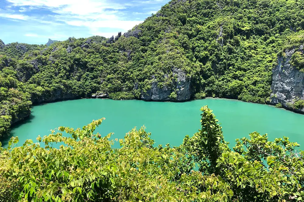
- You cannot swim in the Emerald Lake on Koh Mae Ko; you see it from the viewing platform.
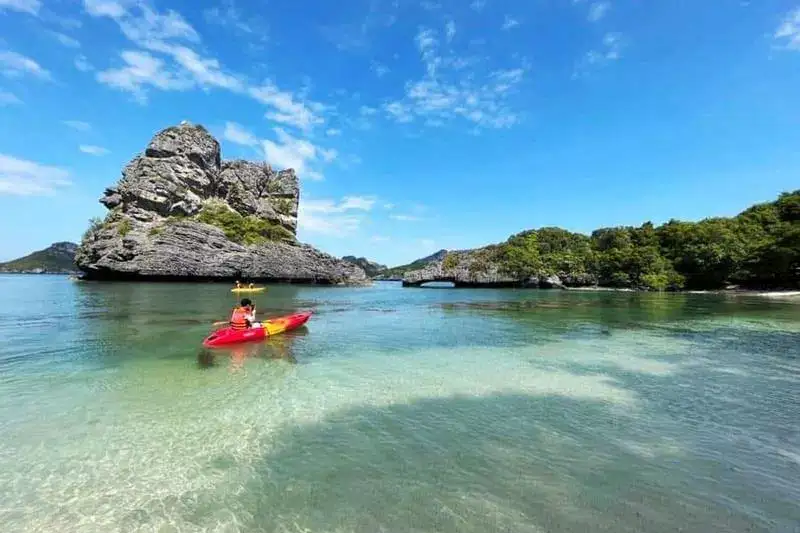
- Do not stand on the coral or feed the fish when you snorkel: the reefs recover slowly.
- Do not feed the langurs or macaques, however cute they look near the beach.
- Take your rubbish back to the boat.
- Follow the guide's timing, because tours share the viewpoints and beaches.
The park is home to a lot of life worth protecting: dusky langurs, long-tailed macaques, smooth-coated otters, about 50 recorded bird species including white-bellied sea eagles, and green and hawksbill turtles in the coral gardens. The rare Ang Thong lady's slipper orchid grows on the limestone cliffs and is the symbol of the park.
Is it perfect? No. Midday at the Emerald Lake can feel busy, and in high season the beaches near the headquarters fill up for an hour or two. But compared with what could have been built here without the 1980 decision, the park is in good shape.
Seeing the history for yourself: which tour fits
The best way to feel the history is to see the three faces of the park in one day: the fishing village, the headquarters island and the protected lake. The main Ang Thong guide compares all the options, but here is my short version.
The shared speedboat tour at ฿1890 per adult runs daily and covers the most islands, with lunch on Tamarin Beach and the Wua Ta Lap stop at the end. The VIP speedboat at ฿3890 per adult (park fee included, max 16 people) is the one that stops for lunch on Koh Phaluai, so you see the village. A private speedboat charter at ฿39,000 per boat for up to 6 guests lets you choose your own route and spend longer wherever the story interests you.
Pick the speedboat if you want the classic day at a fair price, the VIP tour if you want a smaller group and the fishing village, and a private boat if you are a family or group who hates waiting for others.
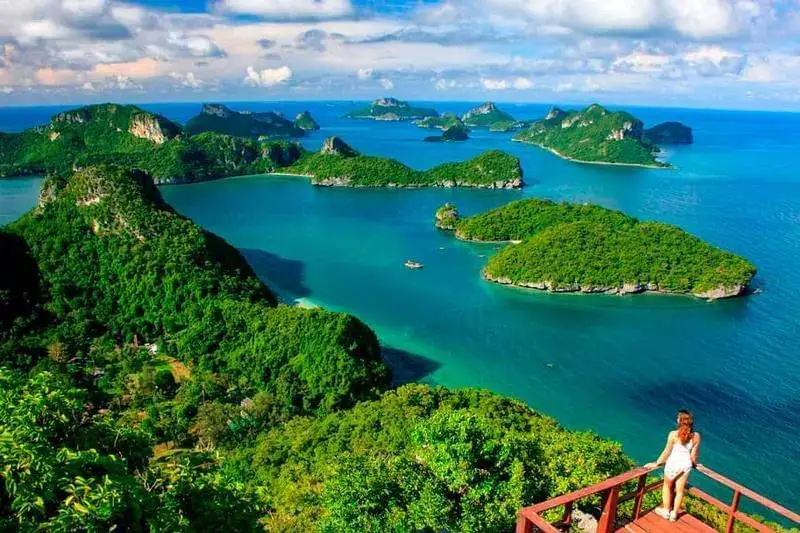
- Days
- Daily
- Time
- 07:40-16:30
- Boat
- Shared speedboat
- Park fee
- ฿300 extra
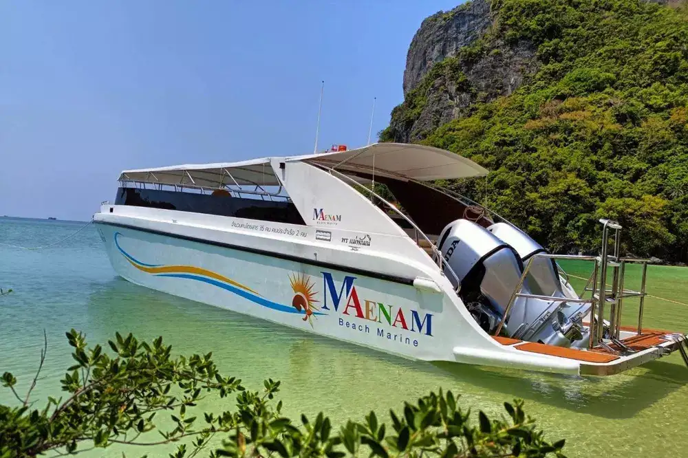
- Days
- Tue, Thu, Sat
- Time
- 07:00-17:30
- Boat
- Small group, max 16
- Park fee
- Included
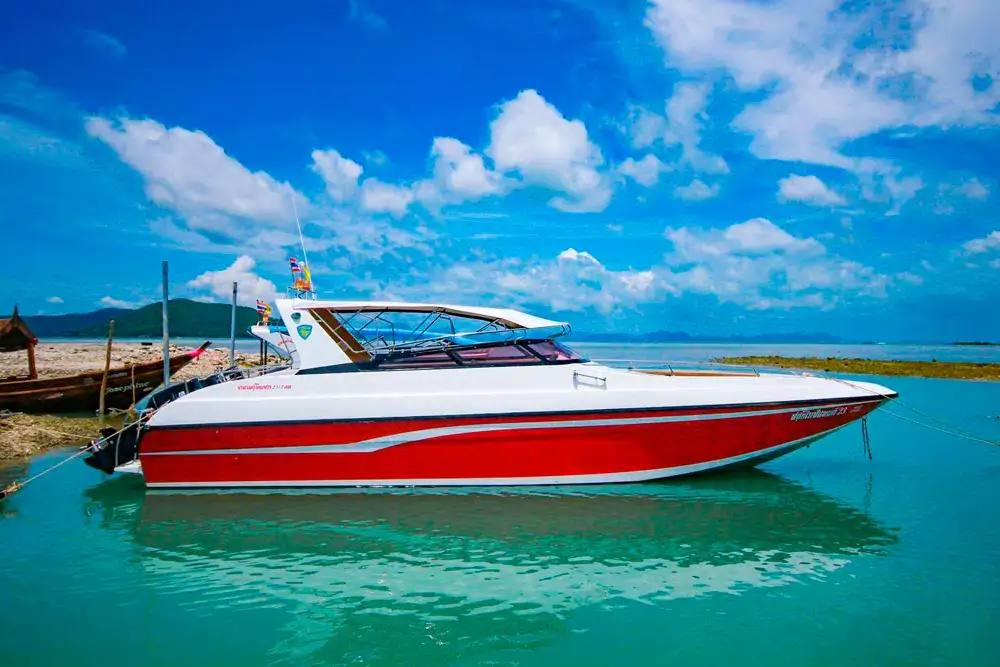
- Days
- Any day
- Time
- 8 hours
- Boat
- Your group only, max 15
- Park fee
- ฿300 extra
Two practical tips before you book. First, check your dates against the annual closure. Second, bring your passport number for the insurance, good shoes for the climbs and cash for the park fee if your tour does not include it. Then go and look at those 42 islands knowing why they still look the way they do.
Questions and answers
Is Ang Thong older than the other marine parks in the Gulf of Thailand?
Ang Thong became a national park in 1980, which is early for a marine park in Thailand. I would not claim a ranking against every other park, but it was protected well before Koh Samui became a big holiday island. That timing is the main reason it still looks so wild.
Can you still visit the fishing village on Koh Phaluai?
Yes. The village in the south of Koh Phaluai is home to a few hundred people who live mostly from fishing. The VIP speedboat tour has a buffet lunch on the island, and a private boat can stop there for lunch at the village.
Is Ang Thong the island from the book The Beach?
Alex Garland's novel placed its hidden lagoon in the Ang Thong marine park, and many readers link it with the Emerald Lake. The film was shot in another part of Thailand. You cannot swim in the Emerald Lake, but you can see it from the viewing platform.
Do people live on the islands of Ang Thong?
Only on two islands. Koh Phaluai has a small fishing village, and Koh Wua Ta Lap has the park staff at the headquarters. The other islands are uninhabited.
Can I stay overnight in Ang Thong National Park?
Yes, the park runs bungalows and a campsite at the headquarters on Koh Wua Ta Lap. It is a simple stay, but you see the islands without the day crowds. Check with the park before you go, as availability can change.
Does the yearly closure really help the reefs?
The weeks without boats, anchors and swimmers give the coral, beaches and trails a rest during the roughest weather of the year. Coral recovers slowly, so any break helps. The park is usually closed from 1 November to 15 December.
Why is it called a marine park if there are islands?
Most of its roughly 102 km² is sea, with an average depth of around 10 m. The reefs, the water and the islands are protected together, which is what a marine park means.
Facts checked against our tour pages on 12 November 2026. Prices and days can change: your manager confirms them when you book.